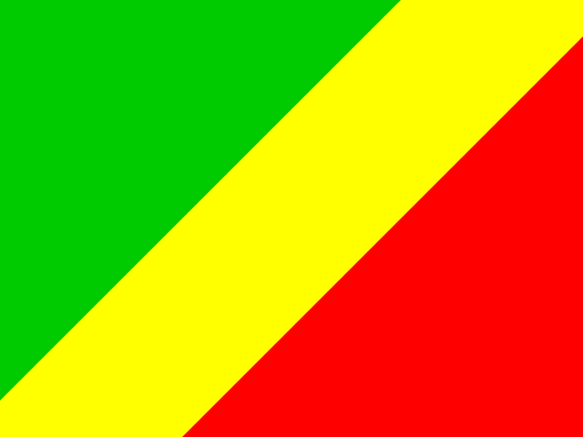
Eritrea is a country in Eastern Africa, one of the 20 entries this site files under that subregion. Its full official name is State of Eritrea. Its seat of government is Asmara.
It covers 117,600 km², which ranks it 102nd of the 250 countries and territories in this dataset — just behind Malawi and just ahead of Benin. Put next to a country most people can picture, it is a fraction smaller than Greece.
It is home to roughly 3.5 million people, placing it 132nd of 250 by population — between Georgia above it and Mongolia below. Among the 20 entries in Eastern Africa it ranks 11th by area and 13th by population.
Eritrea on the map
The coordinates the dataset gives are 15.0° N, 39.0° E, which puts it in the northern hemisphere, roughly 1,670 km from the equator, in what geographers would call tropical latitudes.
Mali, Thailand and the Philippines sit at almost exactly the same latitude on other parts of the globe.
3 countries share a land border with it: Djibouti, Ethiopia and Sudan. The largest of them by area is Sudan, while the most populous is Ethiopia. Together those neighbours hold about 183.7 million people.
It has both a coastline and land borders, which is the most common arrangement of all.
Map data © OpenStreetMap contributors
The people of Eritrea
Spread across 117,600 km², that works out at about 30 people per square kilometre, which makes it less crowded than the typical entry on this list. For comparison, the median entry on this list sits near 90 per square kilometre.
The demonym is Eritrean, so residents are Eritreans.
3 languages carry official status: Arabic, English and Tigrinya. Tigrinya is listed for no other entry in this dataset, which makes it effectively unique to Eritrea. Arabic, the first listed, is shared with 24 other entries worldwide.
Against Africa as a whole it is the 40th most populous of 59 entries, and it accounts for under 1% of everyone living in Eastern Africa.
The practical details for Eritrea
It uses the Eritrean nakfa (Nfk, ERN). No other entry in this dataset uses it, so the currency is specific to Eritrea.
The top-level domain is .er. To phone it from abroad you dial +291. In ISO terms it is er in two letters and ERI in three.
If a quiz asks for the capital of Eritrea, the answer is Asmara.
Eritrea is one of the 193 UN member states in this dataset. The other 57 entries are territories, dependencies or observers, which is why totals on this site run to 250 rather than the familiar 195.
Neighbouring countries
Eritrea shares borders with 3 countries:
Fun facts about Eritrea
- Its capital city is Asmara.
- Ranked by land area, Eritrea is 102nd out of the 250 countries and territories on this site.
- It is 132nd of 250 by population, with about 3.5 million residents.
- Websites based there use the .er domain.
- Mali and Thailand sit at almost the same latitude, on the far side of the globe.
- It lies about 1,670 km from the equator, in tropical latitudes.
Eritrea — frequently asked questions
- What is the capital of Eritrea?
- The capital of Eritrea is Asmara.
- What language is spoken in Eritrea?
- Eritrea lists 3 official languages: Arabic, English and Tigrinya. Tigrinya does not appear as an official language anywhere else in this dataset.
- Is Eritrea a country?
- Yes. Eritrea is a sovereign state and one of the 193 UN members listed on this site.
- How big is Eritrea?
- Eritrea covers 117,600 km², ranking 102nd of 250 by land area. That makes it a fraction smaller than Greece.
- Which countries border Eritrea?
- Eritrea borders 3 countries: Djibouti, Ethiopia and Sudan. Sudan is the largest of them by area.
- What is the population of Eritrea?
- Eritrea has a population of about 3.5 million, which makes it the 132nd most populous of the 250 countries and territories listed on this site. Georgia sits just above it and Mongolia just below.
- What currency does Eritrea use?
- Eritrea uses the Eritrean nakfa, written Nfk (currency code ERN). No other entry in this dataset uses it.
- Where is Eritrea located?
- Eritrea is in Eastern Africa, part of Africa. Its reference coordinates are 15.0° north and 39.0° east, roughly 1,670 km from the equator in tropical latitudes.